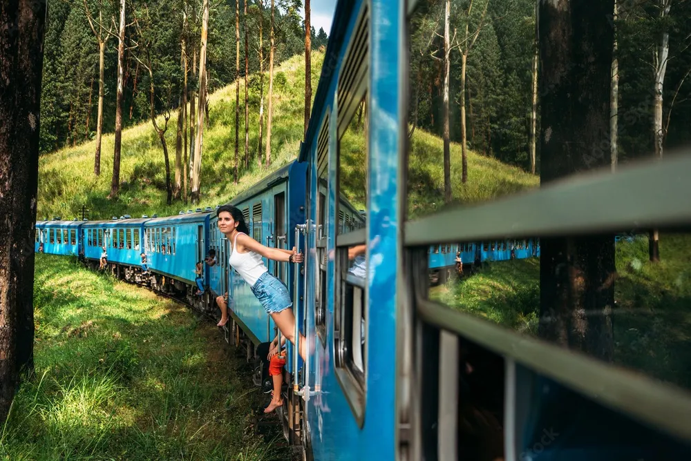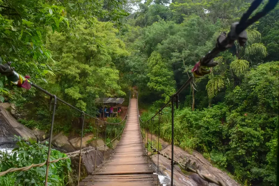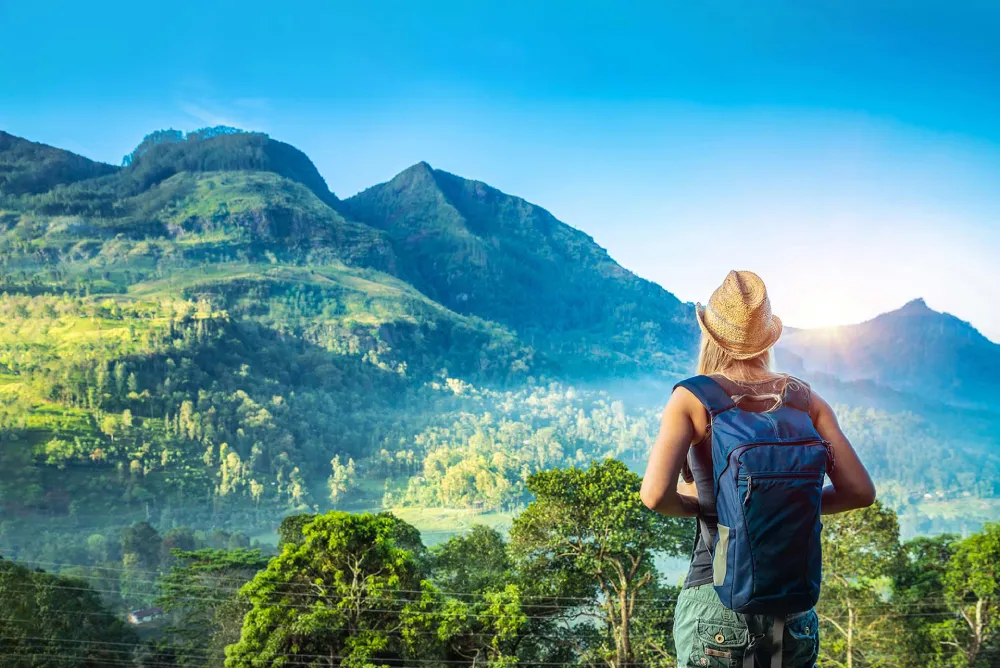
Tucked into the hills between Haputale and Ohiya, Idalgashinna Railway Station is one of those places that barely shows up in most Sri Lanka itineraries, which is exactly why it’s worth the detour. It’s a working railway station, still used by mainline trains every day, but it feels more like a quiet outpost than a transport hub. Fog rolls in and clears out on its own schedule, pine trees crowd the hill behind the platform, and there’s rarely anyone else around.

Getting There
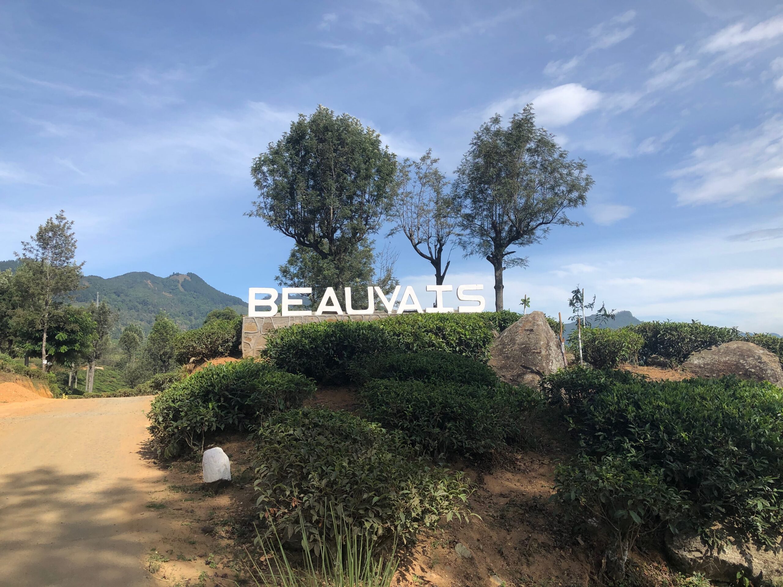
From Haputale town, take Boralanda Road and turn onto Glenanore Estate Road. It’s about 10 km, roughly an hour by bike, and the ride cuts entirely through tea country with barely a building in sight. Parts of the road can be under construction depending on when you go, and the final stretch sometimes narrows to bike-only access, a little rough but manageable. Along the way, keep an eye out for eagles resting on rock outcrops and wild rabbits darting through the tea bushes, the kind of small, unplanned sightings that end up being the highlight of the ride.
If you’d rather arrive by train, Idalgashinna Railway Station is served by all mainline local trains as well as the express services like Podi Menike, Udarata Menike, and the Night Mail, making it easy to combine with a rail trip between Haputale and Ella or Nuwara Eliya.
There’s also a second road option if Glenanore Estate Road happens to be closed or under construction: from the Welimada-Haputale road, turn off at Kirinda Junction and cross through Maligatenna. A separate route reaches the same area through the Thangamale tea estate, off the Haputale-Welimada road via Bowawatta-Idalgashinna Road. Either works as a backup if you’re on a bike not suited to unpaved sections.




Why It’s Worth the Stop
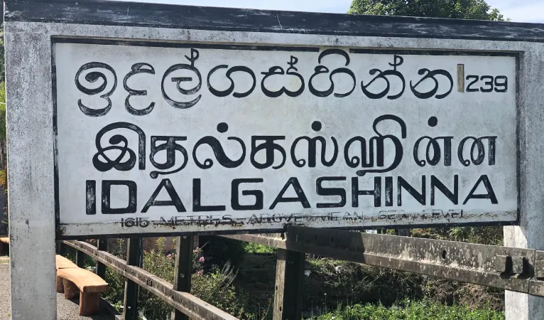
Idalgashinna Railway Station is the fifth highest railway station in Sri Lanka, sitting at around 5,300 ft above sea level, and the 68th station on the Main Line. It was built in 1893, when the track was extended from Nanu Oya through to Haputale, and it still carries that old colonial-era hush that comes with being a quiet, low-traffic mountain stop.
The station sits on a hilltop that happens to divide two of the island’s major watersheds. Rainwater collecting at the front of the roof drains toward the Mahaweli river valley, while water falling off the back runs toward the Walawe valley, one roof, two rivers. It’s a strange little quirk of geography that most visitors only learn about once they’re standing there.
A Pass With a Much Older History
Long before the railway arrived, Idalgashinna was already important, just for a very different reason. The Idalgashinna Pass, the same hilltop gap the station now sits beside, was seen for centuries as one of the main gateways into the Kandyan highlands from the south. Whoever controlled it had a route straight into Uva and on toward Badulla, which made it a serious strategic prize.
The Portuguese knew this well. They tried to force their way through the pass more than once in the 16th and 17th centuries as part of their long, largely unsuccessful campaign to conquer the Kingdom of Kandy. The most dramatic attempt came in 1630, when Portuguese captain-general Constantino de Sá led an army along an unusual southern route into Kandyan territory, crossing through Idalgashinna instead of the more predictable approaches the Kandyans expected. It didn’t end well for him. The Kandyans blocked the pass, cut off his retreat, and eventually trapped his forces at Randeniwela, a battle that turned into one of the most decisive Portuguese defeats on the island.
Nearby, the ruins of what’s believed to be the Welanhinna Fort still sit on a mountaintop close to the pass, thought to have served as a Kandyan observation post, a lookout point with clear sightlines toward any approaching invasion force. There’s little left to see today beyond an old trench cut into the summit, but knowing that history changes how the landscape feels. What looks like a quiet hillside was once one of the more contested pieces of ground in the island’s colonial wars.
By the time the British arrived and pushed the railway line up through these hills in the 1890s, the pass had long since stopped being a military chokepoint and had settled into what it is now, a remote, foggy corner of tea country. The station that opened here in 1893 was built purely for practical reasons, to move tea and passengers, but it ended up sitting on ground with a genuinely old story behind it.
Building the “Railway to the Moon”
The line Idalgashinna sits on is part of what’s often nicknamed the Railway to the Moon, the Colombo to Badulla Main Line, and it’s worth knowing a bit about how much effort it took to get a train up here at all. Construction began in 1864 with the first stretch from Colombo to Ambepussa, built mainly to move tea and coffee down from the hill country to the port. From there it crept upward in stages: Kandy in 1867, Nawalapitiya in 1874, Nanu Oya in 1885, and finally Bandarawela in 1894, with Haputale and Idalgashinna Railway Station opening the year before as part of that same push, in June 1893.
Getting the track this high wasn’t simple. Engineers had to cut through solid rock, carve tunnels along near-vertical hillsides, and lay curves so tight the line still ranks among the more technically demanding pieces of railway engineering anywhere in the world. A little further up the line, the track climbs even higher, reaching a summit of 6,227 ft at Pattipola, Sri Lanka’s highest railway point.
Worth noting, though: it’s not the highest railway in the world outright; that distinction belongs to China’s Qinghai-Tibet Railway, which crosses Tanggula Pass at over 16,000 ft. That line is standard gauge, so the claim usually made for Pattipola is narrower: that it’s the highest point reached by any broad gauge railway, broad gauge being the wider 5 ft 6 in track used on Sri Lanka’s line.
It took another three decades after Idalgashinna Railway Station opened for the line to finally reach Badulla in 1924, largely because of just how difficult the remaining stretch was to build.
Idalgashinna, in other words, isn’t just a scenic stop; it’s a small surviving piece of one of the more ambitious railway projects of the colonial era, built at a point when reaching this altitude by train at all was still a genuine engineering feat.
The Village, the Estate, and What’s Around It
Idalgashinna itself is officially classified as a small village, with the closest large town, Haputale, about 9 km away along the railway. Travellers who’ve walked in describe it as barely more than a handful of houses and a school, only really reachable by train or by estate trails, which fits with how remote it feels once you’re there.
The surrounding area is home to the Idalgashinna Estate, and life here still moves at the pace of a working tea plantation, plucking in the mornings, mist rolling through by mid-afternoon, and very little else.
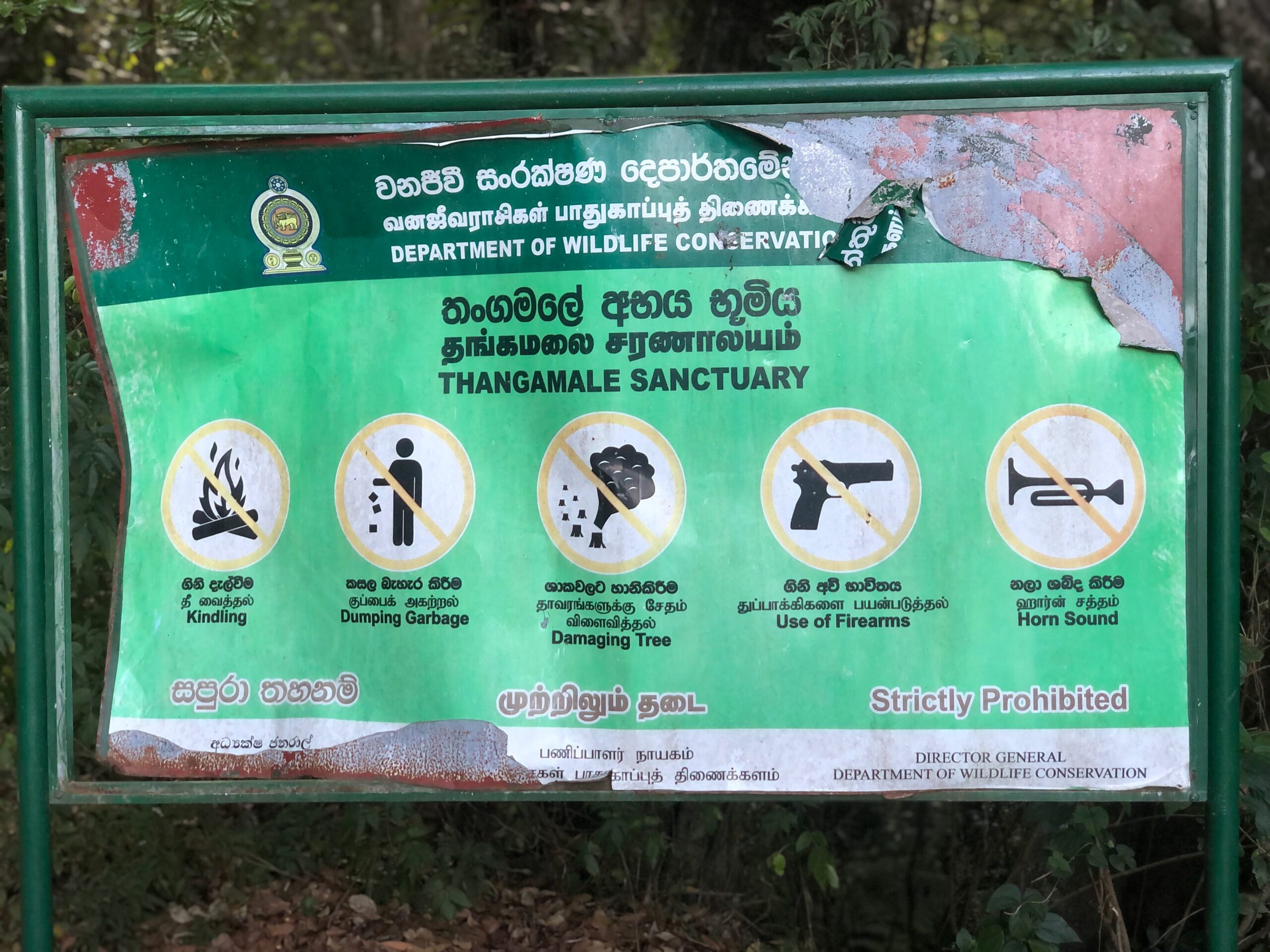
Between Idalgashinna and Haputale lies the Thangamale Bird Sanctuary, a 131-hectare patch of protected upland forest that’s been under conservation status since 1938. The classic way to see it is the roughly 4.3 km ridge walk connecting Adisham Hall near Haputale to Idalgashinna Railway Station, cutting through forest and along a ridgeline with steep drops toward the railway line on one side.
Visitors on this walk have reported sightings of species like the yellow-eared bulbul, Sri Lanka white-eye, and Sri Lankan junglefowl, along with occasional giant squirrels and porcupines. It’s a well-known route among birders and hikers passing through the Haputale area, and it ends right at the station, making it easy to combine with a visit here.
The station building itself sits below a pine-covered hill, and being a low-traffic mountain stop, it stays quiet outside the handful of trains that pass through each day.
In recent years, a camping site near the station has started drawing attention from Sri Lanka’s Tourism Development Authority, roughly 45 minutes from the station itself, reachable via the same Thangamale tea estate or Kirinda Junction routes mentioned above.
It’s still a relatively low-key spot, but it’s a sign that Idalgashinna’s quiet, scenic profile is starting to get noticed beyond the rail-enthusiast crowd.

The Walk to Ohiya, in More Detail
The walk between Idalgashinna Railway Station and Ohiya Railway Station is one of the more talked-about rail walks in Sri Lanka, mostly among train enthusiasts and hikers looking for something quieter than the Ella to Demodara stretch. The 14 tunnels along this section are the main draw, cut directly through the hillside where the terrain drops steeply on both sides of the track.
It’s not a technical walk, but it does require sure footing, a torch or phone light for the longer tunnels, and awareness of train schedules, since there’s nowhere to step off the track inside a tunnel if one happens to come through.
Most people walking this route start early, either from Idalgashinna Railway Station heading toward Ohiya or the reverse, and budget a couple of hours depending on how many stops they make for photos. It’s not a marked trail, and there are no facilities along the way, so it’s worth treating it as a proper hike rather than a casual stroll: water, decent shoes, and a rough idea of the train timetable before you set out.
Practical Tips
- Best time to go: Mornings tend to have the clearest visibility before the fog rolls back in, though the shifting weather is part of the charm here.
- What to bring: Good shoes if you plan to walk the tunnels toward Ohiya, and a jacket; it’s noticeably colder up here than in Haputale town.
- Photography: The station building and the surrounding pine-covered hills make for some of the most atmospheric shots in the Haputale area, especially when the fog is rolling through.
- Combine it with: Dambatenne Tea Factory, Lipton’s Seat and Adisham Bungalow are on the way if you’re coming from or heading back toward Haputale, making it easy to fold into a longer day trip. Thangamale Bird Sanctuary is also close enough to add on if you’re interested in birdwatching.
- If you’re walking to Ohiya: Check the train timetable before you set out, bring a torch for the tunnels, and don’t attempt it if it’s raining heavily; the track can get slippery on the steeper sections.
- Facilities: There’s very little at the station itself, so bring water and any snacks with you from Haputale. Travellers who’ve done the Thangamale walk have mentioned a small guesthouse near the station, Peak Rest, that can arrange a home-cooked meal if you call ahead, though it’s worth confirming availability before relying on it.
Idalgashinna Railway Station isn’t a place you stumble into by accident. It takes a bit of effort to reach, whether by bike through the estate roads or by train along one of the most scenic stretches of line in the country, but that’s part of what keeps it peaceful. If you’re already spending time in Haputale, it’s a half-day detour that’s easy to justify.
For more on the town itself, where to stay, what else to see, and how to plan your time there, check out our full Haputale travel guide.
Location Map
Nearby Atractions
- Adisham Bungalow (St. Benedict’s Monastery): A Peaceful Colonial Retreat in Haputale - 3.9 km
- Haputhale Travel Guide - 6.9 km
- Lipton’s Seat: A Scenic Viewpoint Above Sri Lanka’s Tea Country - 13.1 km
- Complete Guide to Udawalawe National Park - 33.2 km
- Udawalawe Ath Athuru Sevana (Elephant Transit Home) - Visitor Guide, Feeding Times & Tickets - 40.2 km
- Sri Sankapala Rajamaha Viharaya - An Ancient Cave Temple Near Udawalawe - 40.4 km
- Monara Gala Mountain (Peacock Hill) - 44.8 km
- Hanguranketha Ambalama - 46.2 km
- Randenigala View Point - 46.4 km
- Kondagala Rock – A Hidden Hike Above Sri Lanka’s First Tea Estate - 47 km